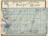
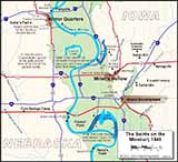
Township
Map
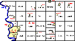
Township Map with
links to Township Histories |
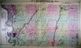
1856
Map of Pottawattamie and Surrounds
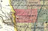
from Parker’s
Sectional & Geological Map of Iowa, By Nathan H. Parker. 1856. |
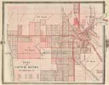
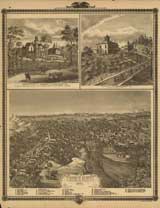
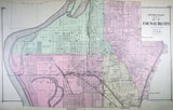
1868
Bird's eye view of Council Bluffs
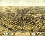
Bird's
eye view of the city of Council Bluffs, Pottawattamie Co., Iowa 1868.
Chicago, Merchants Lithographing Co. [1868]. |