|
City Maps of Pottawattamie County
1885
Click on map to enlarge, then click map again to see
detail.
Note: Some maps also
show landowner's names.
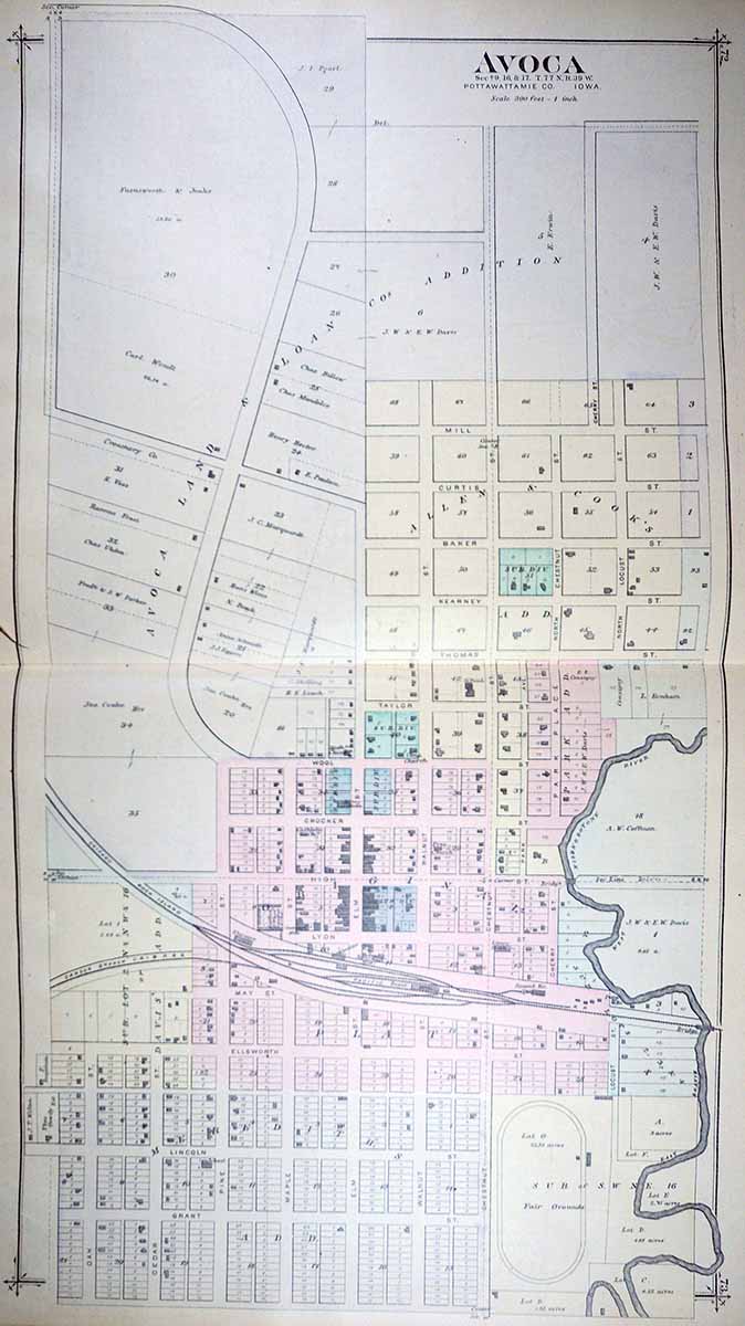
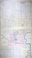
AVOCA
|
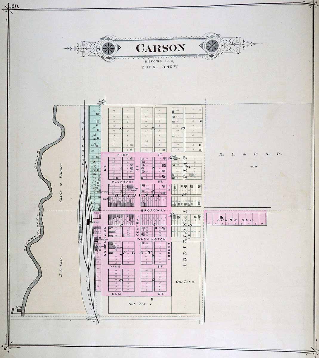
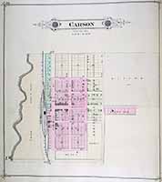
CARSON
|
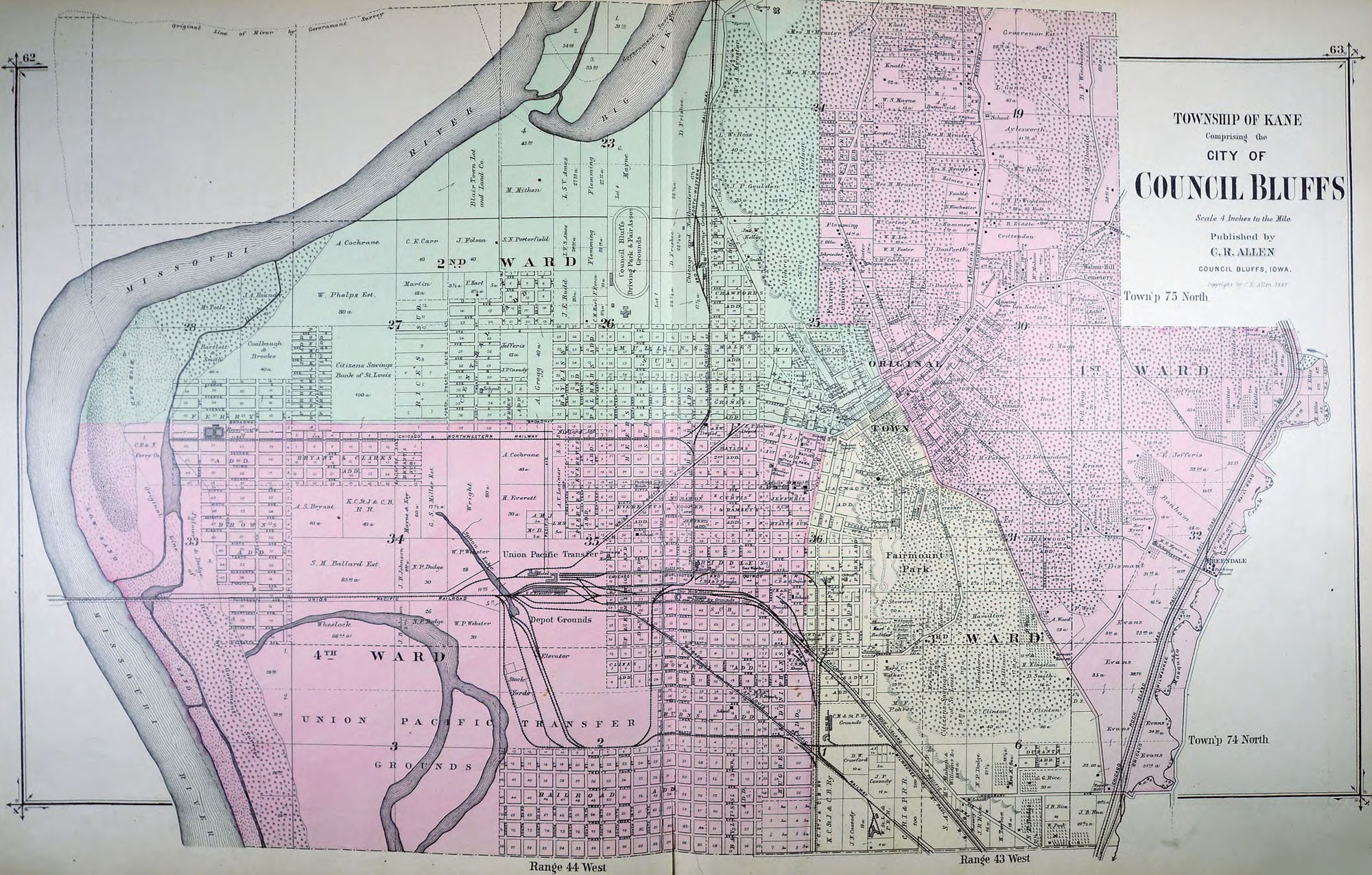
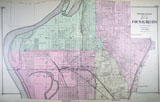
COUNCIL
BLUFFS
|
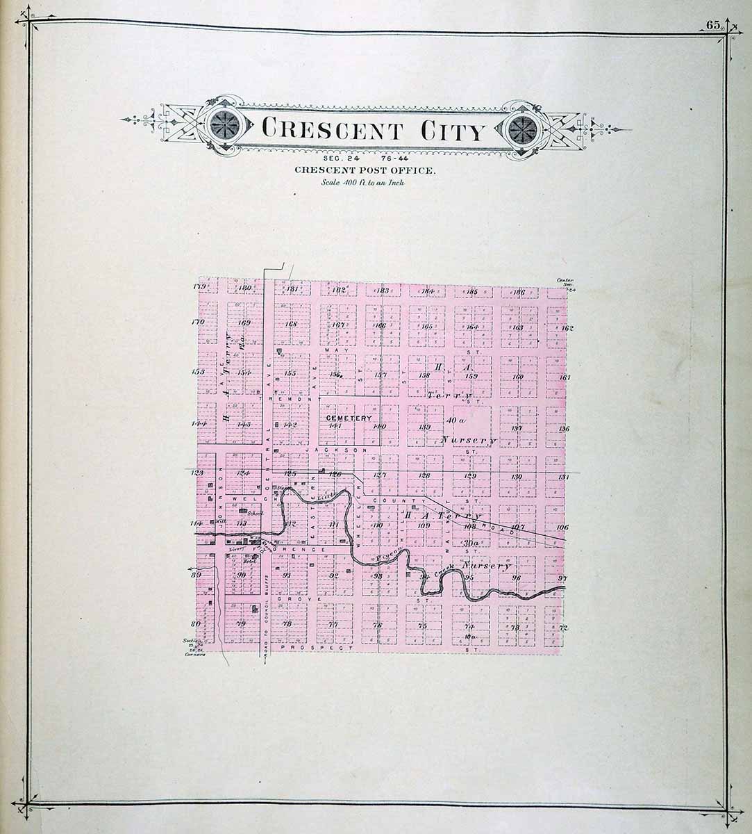
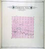
CRESCENT
CITY
|
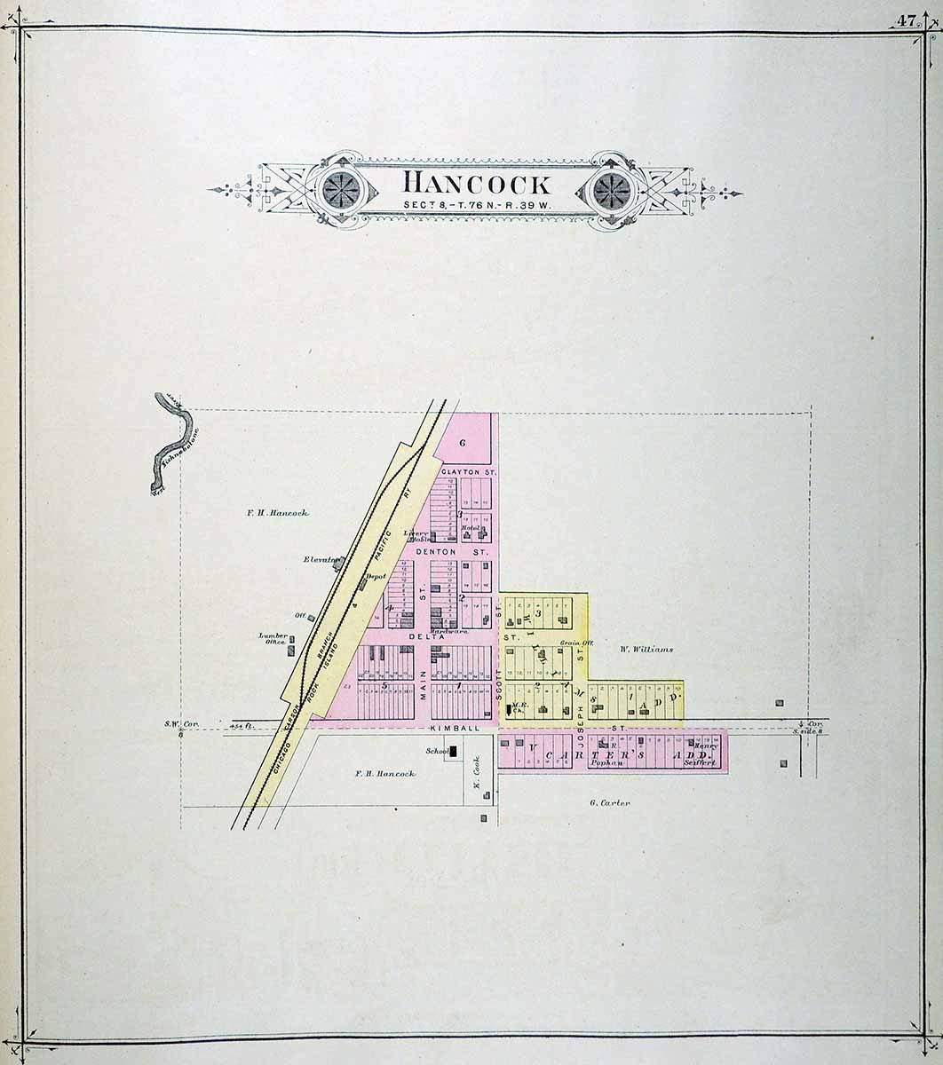
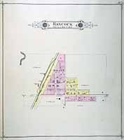
HANCOCK
|
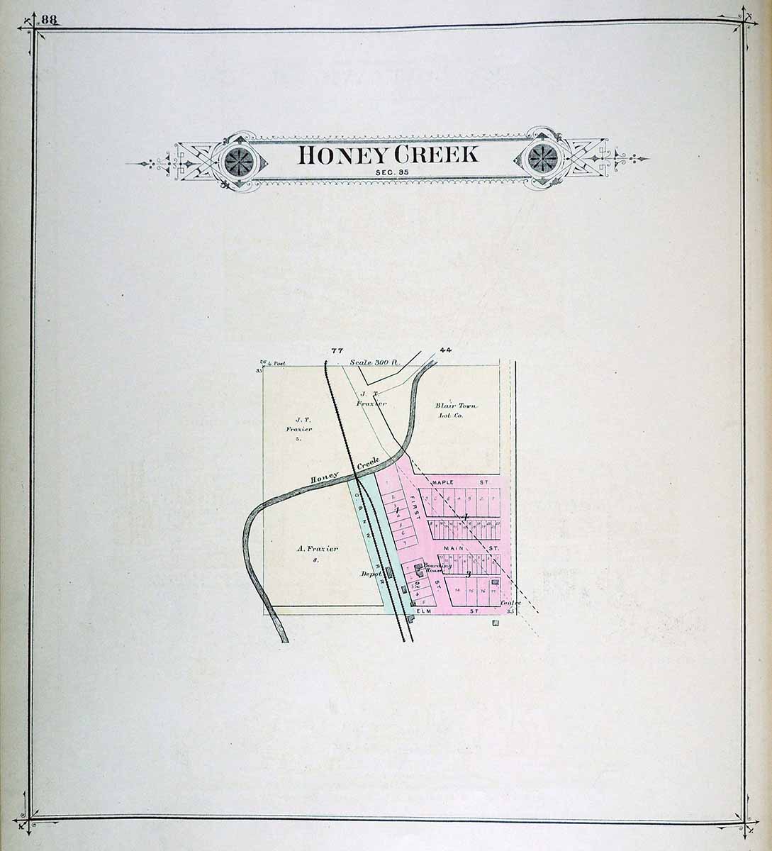
HONEY
CREEK

|
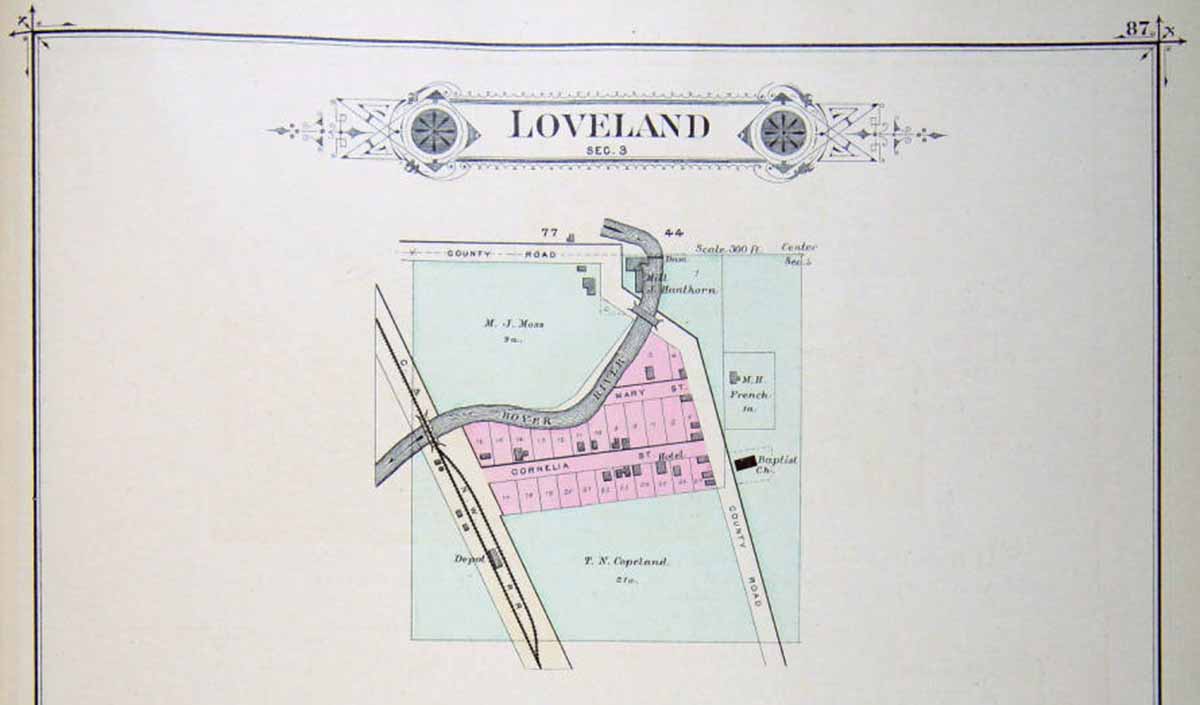
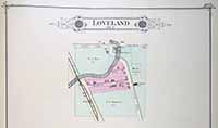
LOVELAND
|
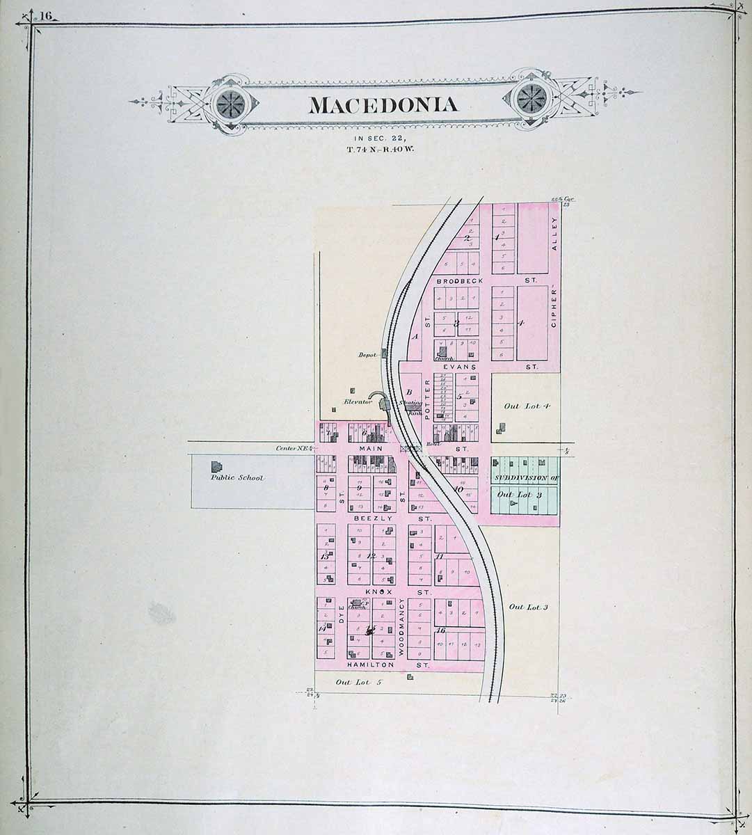
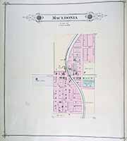
MACEDONIA
|
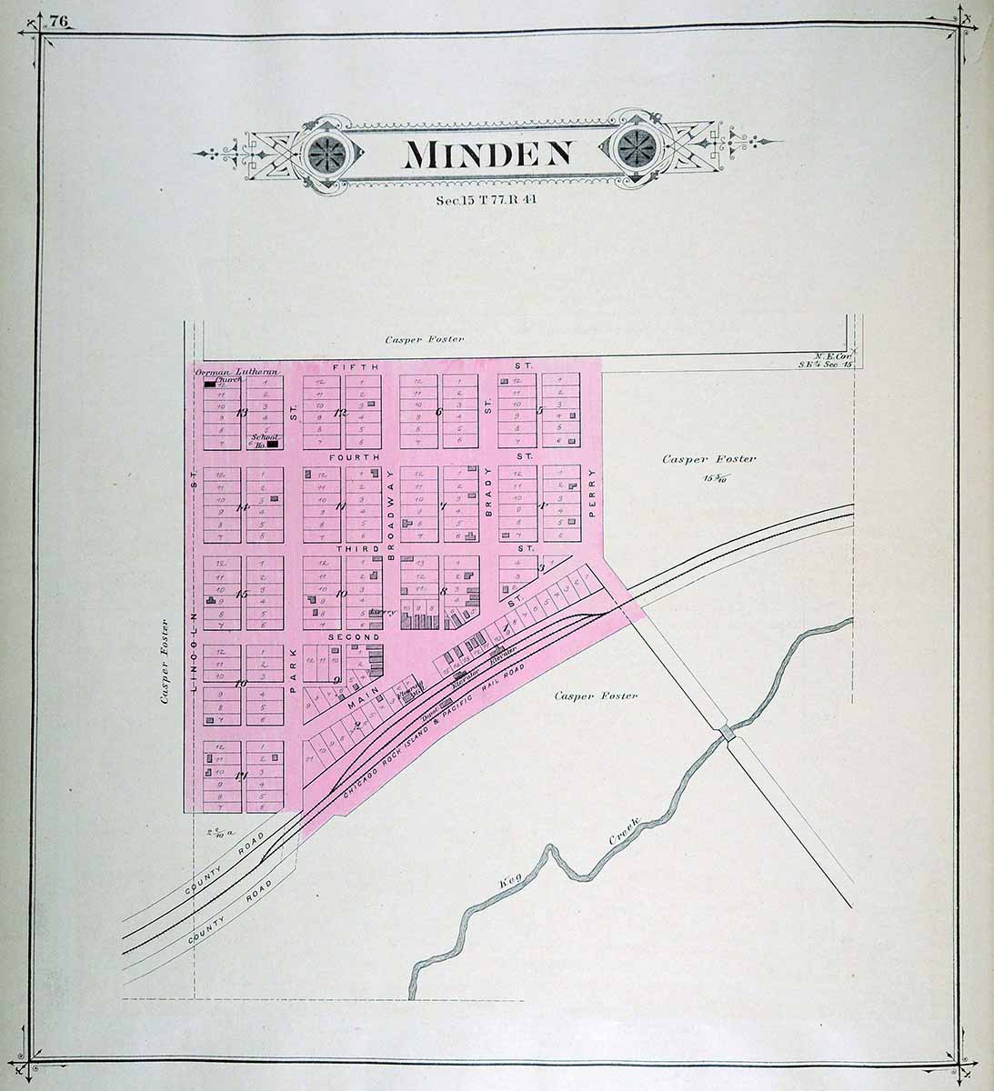
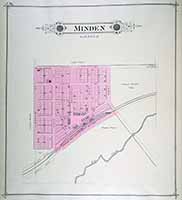
MINDEN
|
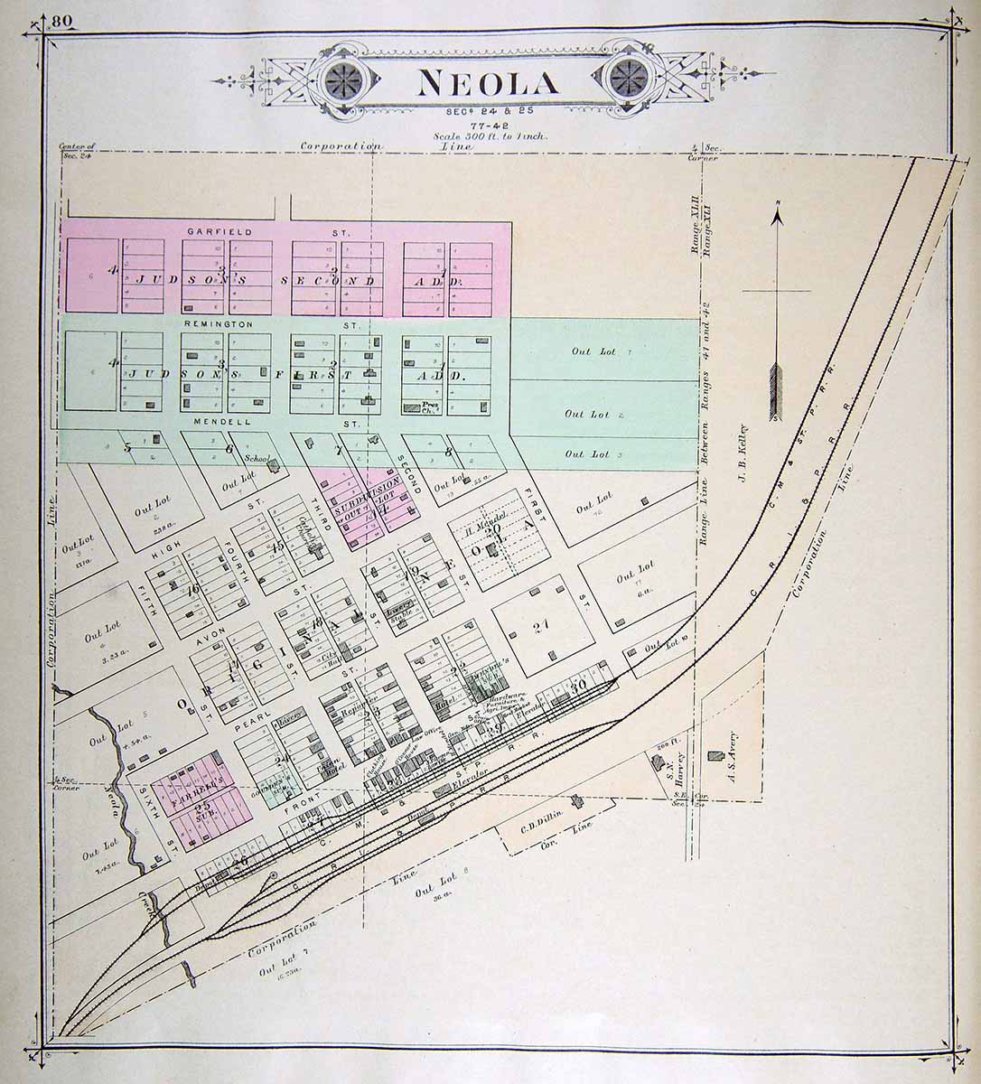
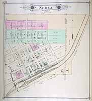
NEOLA
|
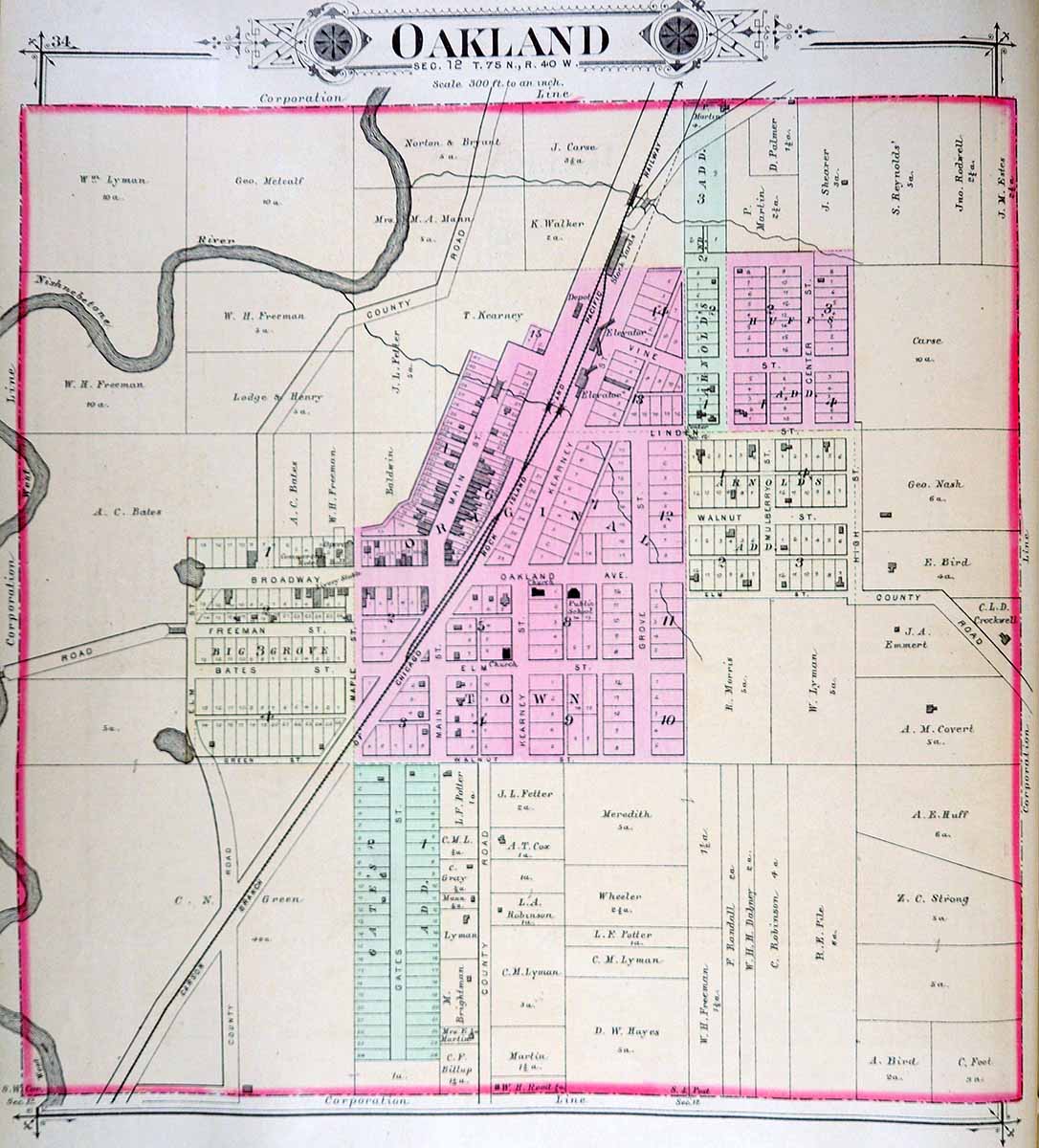
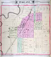
OAKLAND
|
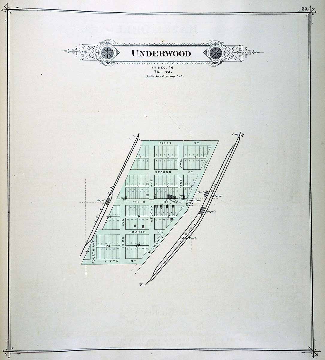
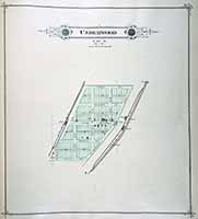
UNDERWOOD
|
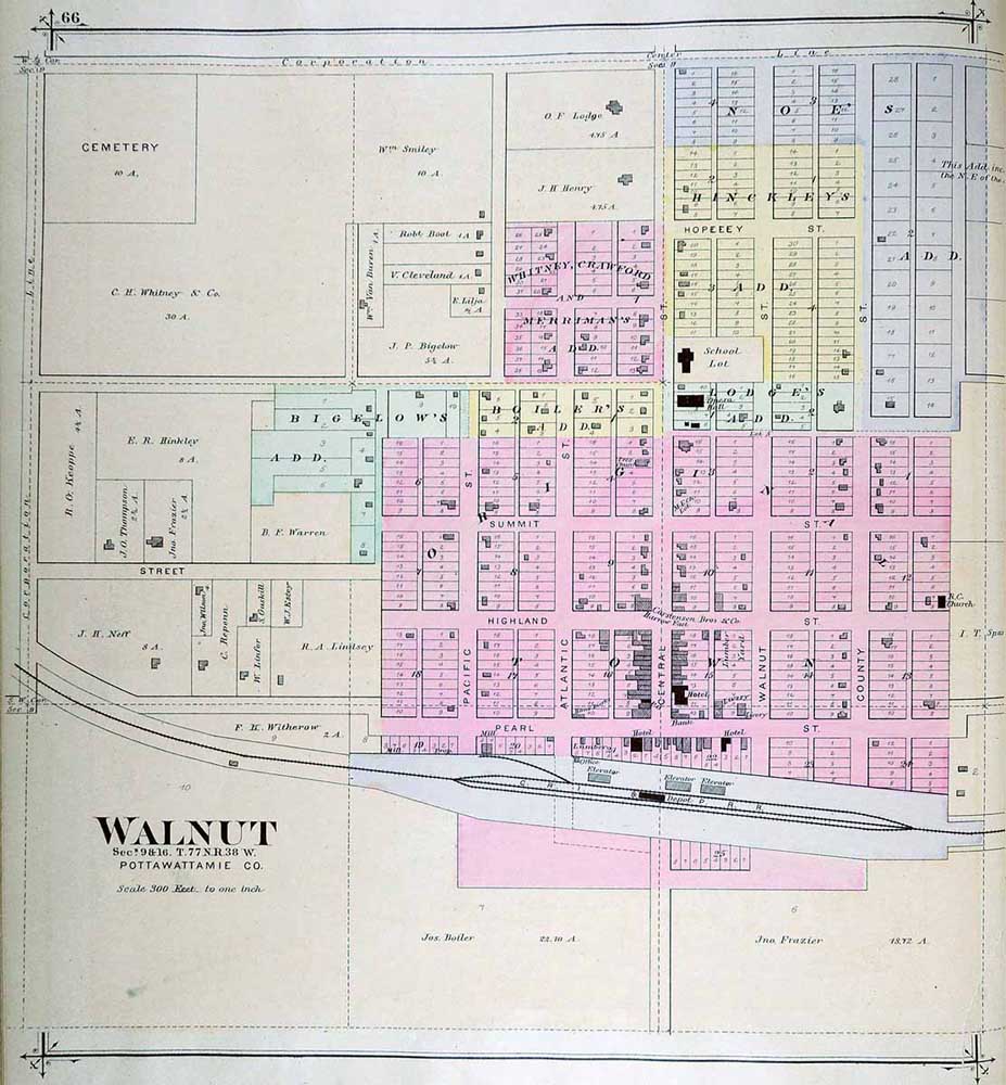
WALNUT

|
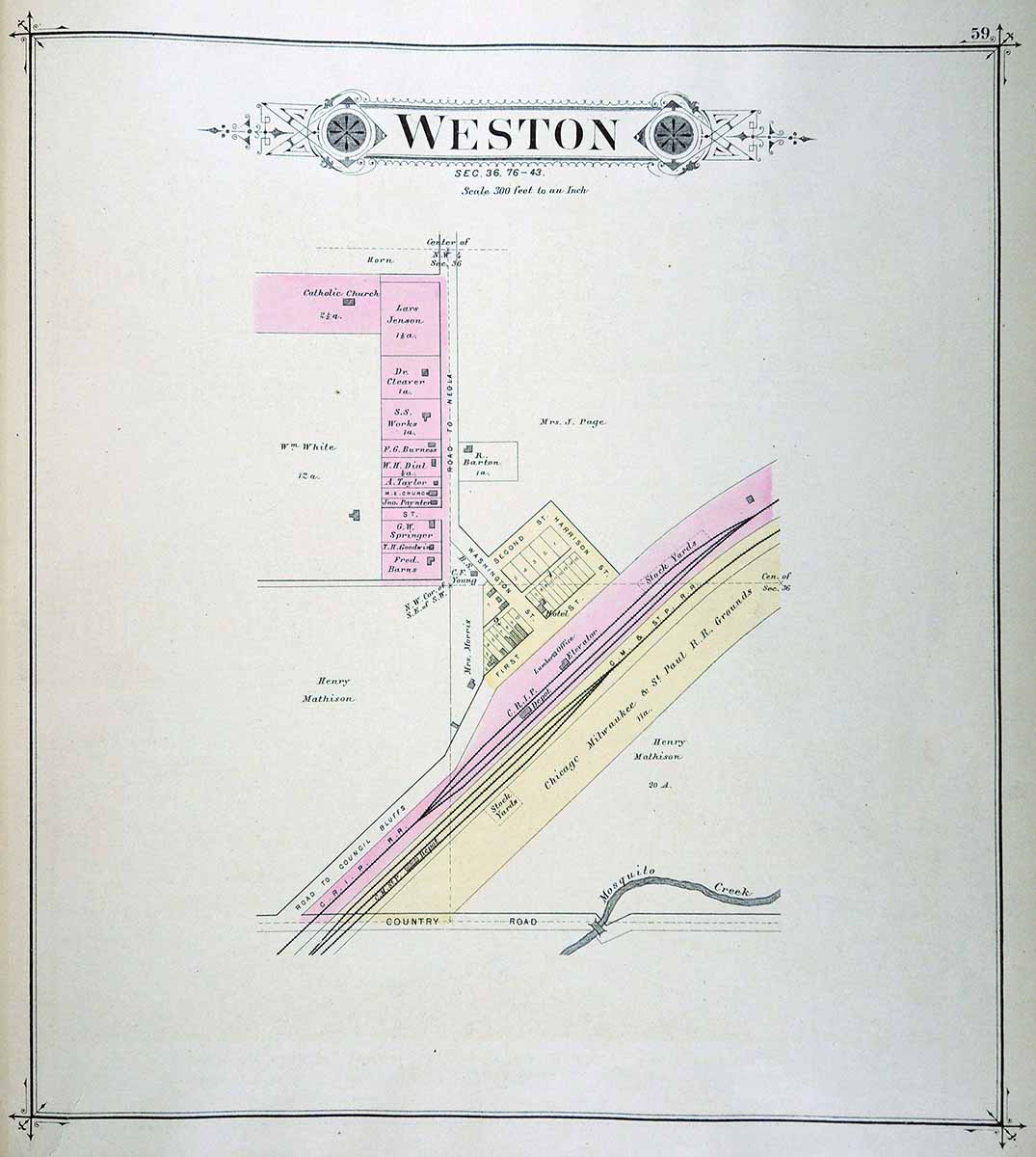
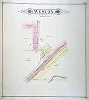
WESTON
|
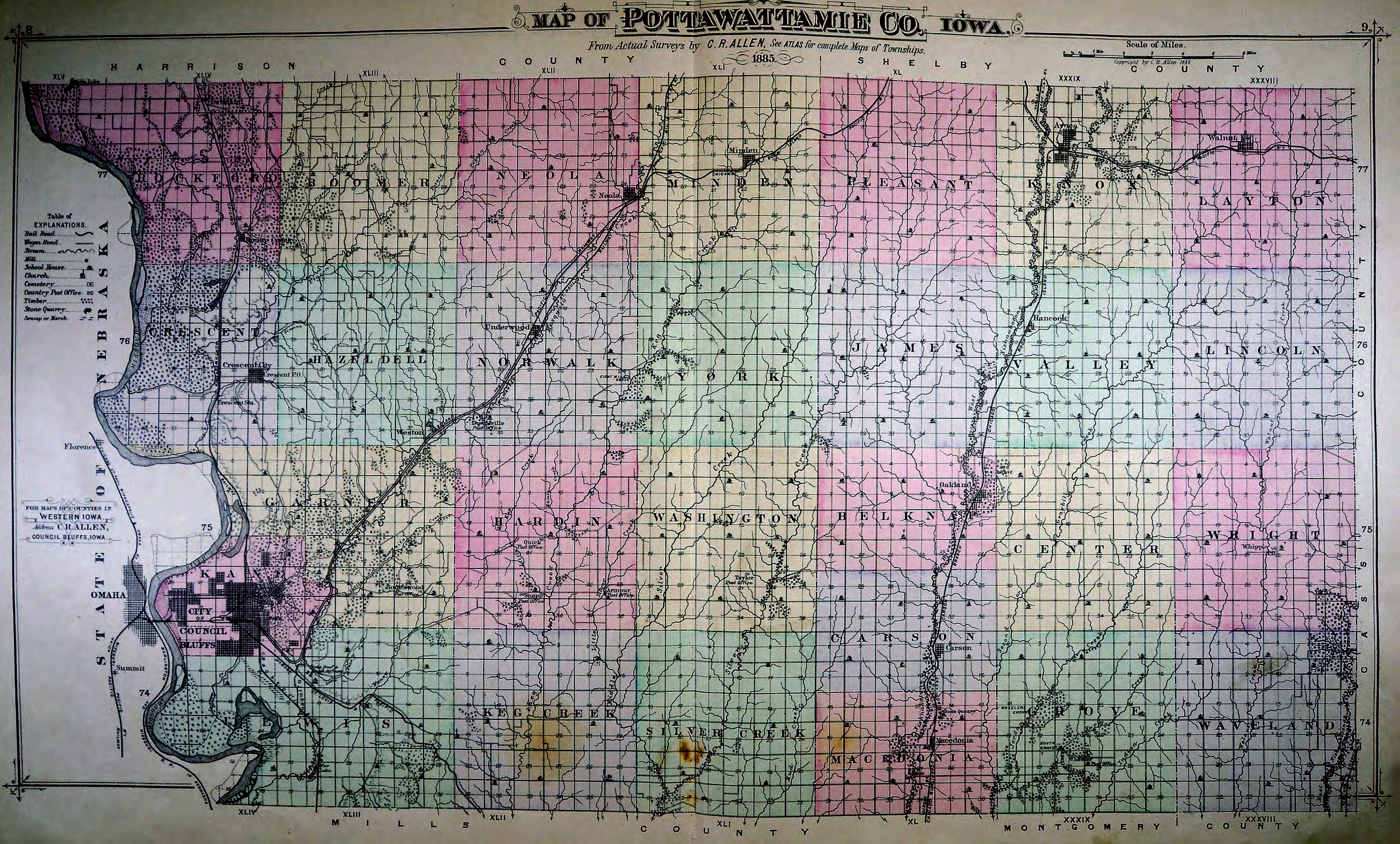
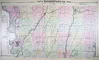
POTTAWATTAMIE
COUNTY
|
|
|
Illustrated Atlas of
Pottawattamie County, Iowa. Council Bluffs: C. R. Allen, 1885, in the
State Historical Society of Iowa (Iowa City) Collection. Available
through the Iowa Digital Library. Used with permission of the
University of Iowa Libraries. |
|
 |
|