

Towns Map
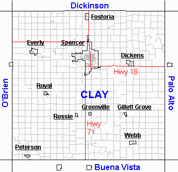
Map courtesy of and created by Iowa PROfiles,
Public Resources Online,
Iowa State University.
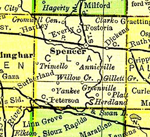
Clay County, Iowa, 1895
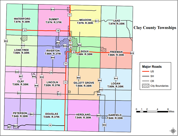
Recent Map with Major Roads
Iowa Map of Train Routes
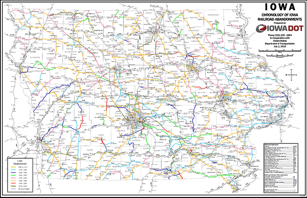
For an expandable map, Click HERE!
See More Maps:
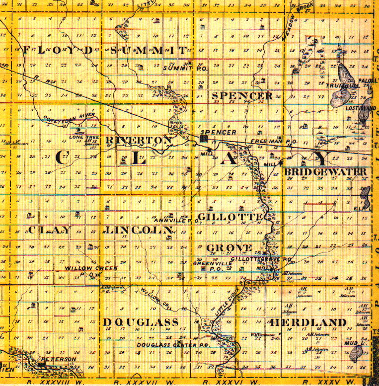
2 Township Plat Maps, 1887
Plat Maps of Clay County, 1930
